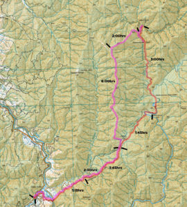
With blood in my eye and twigs in every cranny we finish an 11hr 30 day firmly in the dark, having struggled mostly offtrack in this adventure to unmarked Island Forks Hut – an overnight trip very much a ‘tale of two tramps’.
J and I leave the Otaki Forks carpark at 8:45am. I had intended a solo trip to hone my Te Araroa setup, but with J joining me we decide to head somewhere more adventurous. Our destination is the secretive Island Forks hut, a two-bunk DOC biodiversity bivvy kindly also open to the few with the awareness, ability and interest to get there.
So we set off, across the flats and over an as-glass Otaki river.
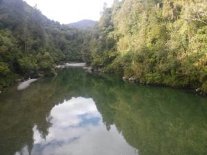
The first hour or so is across scrub and former farm land; plenty of great private camping spots abound. It’s hot, we’re sweating; it’s been so long since I’ve been hot tramping, I don’t know what to do.
At one point, the nicely graded open track beckons forward on a gentle slope, but a DOC marker points us up. We consider exploring ahead anyway, rules be damned – but decide on the climbing route. Shortly after we’re glad we did, spotting the huge, active slip beneath our feet!
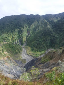
After the slip we drop back to the old main track, following the route of a log-hauling tramway from the exploitative logging days. It’s quick going, we blaze along – now and then a rail sleeper or track peeks out amongst the regrowth.
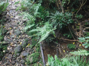
After an hour 15 we reach the intersection of the old track which follows Saddle Creek and now endures serious slips, and the new safer route above. We climb; we might take the lower route home.
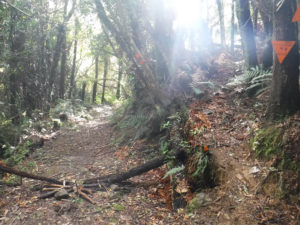
The upper route is hard going after the easy tramway; a relatively new trail climbing another 200metres or so across a damp slope of shattered rock and supplejack. It’s not the best track, and certainly not what I expected from one of the main drags out of Otaki Forks – that it’s the better one of the two has me interested in the state of the lower! We pass a nice wee camping spot on the track Te Araroa walkers might enjoy at a creek just after rejoining with the lower track at 11:45(3hrs); there’s an ominous note on the diversion:
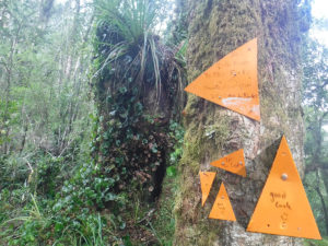
We drop toward Waitewaewae, and decide to cross the river rather than take the track up and around. We discover we’re not the first, with a DOC sign pointing the way in fair weather.
Down at the river, J makes a suggestion. ‘Upstream for a crossing?’
“No, downstream” I suggest, thinking we’ll bushbash across the paper-clip bend. I find us one of the deepest spots to cross unfortunately, as we end up walking around the river bend anyway, passing a lot of easy gravelly crossings. J is a champ, never giving me shit after various poor decisions.
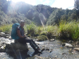
As I wander through the sunny shallows, a rock takes off ahead of me; it’s a foot-sized fish, and it’s dullness suggests its a native. I’m chuffed to discover one doing its thing – there’s some native life still around.
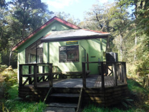
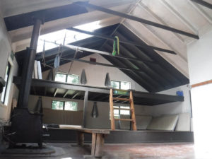
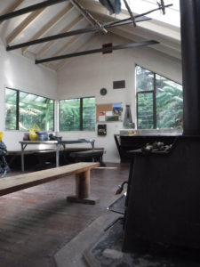
We cross once more to reach Waitewaewae Hut alone and basking in the sun at 1:30, 4:45hrs from the carpark. We rest our feet and enjoy a hot drink; it’s a pearl of a spot.
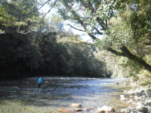
Heading off at 2:20, we cross the Waitewaewae bridge and then scamper down for another crossing. Following the river might have been easier, but we cut up and north across the flatish bend above. While clambering through the bush, a helicopter buzzes us twice, low along the river. I wonder if my PLB has gone off.
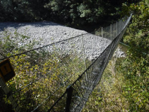
We find a not-cliff moment and clamber down – we’re off the Otaki river and now in the Waitewaewae. It’s easy enough going but not quick as we criss-cross the river often, cutting across little terraces where the opportunity presents itself. Every corner presents another beautiful pool, and in the middle there are large flat grassy terraces which would make great isolated camping. Unfortunately hunters think so too I suppose; one carries the stench of death, but we don’t find the cause.
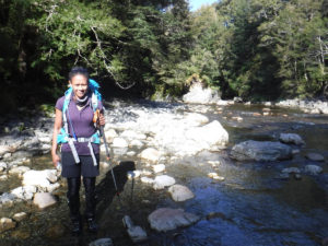
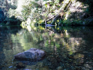
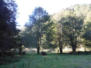
As we potter further north, the channel gets thinner. We are forced to cross deeper chasms and deeper and deeper pools. My height keeps my tackle blissfully dry far longer than J, but eventually I too get a wet butt. The route would be hideous or impassable with rain; it’s a chasm in spots, and deep enough as it is.
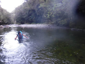
Unfortunately J’s cellphone is in her hip pocket in the photo above; she escapes with a ‘moisture warning’ which I think suggests a pretty great cellphone!
The water is so clear, we can see every rock; it’s in a great state. I even come across an eel.
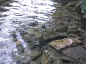
After a few hours we’re not digging the river so much and it’s getting late, so it’s with relief we spot the forks of the East and West Waitewaewae at 5:20pm, 3hrs from Waitewaewae and 8 from the car.
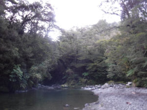
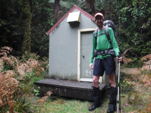
Five minutes up the East Waitewaewae river has us reach the wee glade with Island Forks hut hiding behind. What an absolute blessing, just in time; we settle on down.
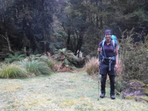
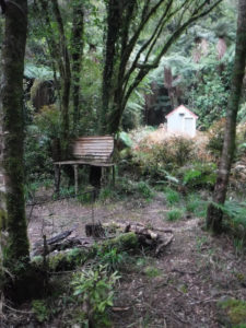
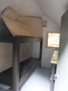
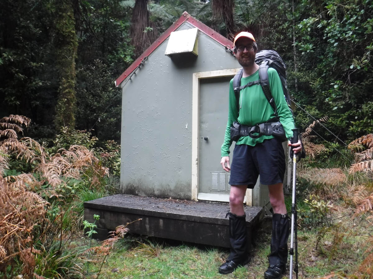
It’s about 3m x1.8m or so, enough for 2 bunks, a wee bench and a spot to put your gear. I love it, a little glimpse into working conservation huts. Amenity-wise, there’s a toilet nearby, a little damp but in good knick, if you can navigate the tree branch blocking the door and the cave weta living behind the seat. Water is from the river, and in fair weather the picnic table and open fire would provide needed space. There’s a bit of space for camping; not for massive groups, but 3 or 4 tents could fit about the place probably.
The hut book goes back to 2008 and isn’t packed with entries, there’s more than 2 thirds left. It’s neat to write ours, thinking our entry might still be there in another 10 years when I return on a new adventure.
We fill up a hotty to warm our toes, enjoy soup and beers (leaving two for the next person, whenever that may be) and hit the sack.
J is out like a light, but I lie awake, listening to the clattering of buckets outside. A possum or rat is climbing the wires outside and exploring the roof, looking for a way in. I listen as it gropes about and eventually gives up; it’s an airtight little unit.
We have a relaxed morning but start early, heading off at 7:45. Rather than take the stream back down we mean to climb the 620 ridge west of here, heading toward Mick, then follow the ridge south for 4km to re-gain the Waitewaewae tracks.
What happened next may have been an omen.
We walk straight past the forks and head 500metres down the river before checking the GPS (while I enjoy using the map and compass, this is my biggest off-piste trip yet and I don’t want to risk anything). Rather than commit to the river, we back track north until we can climb up the western bank, then climb on up the ridge. Pre-reading had suggested there’s the odd marker or cutting about, and we see the odd pink bit of tape; but it’s a mixed bag. We’re just climbing anyway, so no worries; up we go.
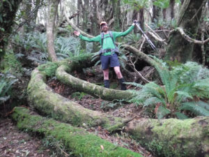
We reach the wee boggy patch after two hours of climbing, surrounded by leatherwood. Skirting about the southern edge, we head south. It’s a real, real bastard while we maintain this height; leatherwood shreds us, we climb on all fours through patches, taking minutes to get metres. More confident bushfolk may wish to skirt around lower down.
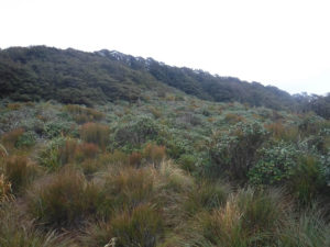
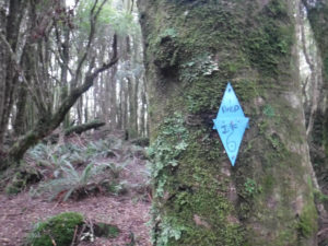
From here we basically just head south. We walk in the bush, heading roughly south, for the next six hours. The monotony is separated by the odd bird counting post, and the odd moments of a groundtrail which promises easy going, delivers for 10 metres then disappears again. There are no markings. It’s just bush and massive tree fall, for six long hours.
There’s great tree fall everywhere; to follow the ridge is a difficulty. When we skirt off the ridge for a bit of easier going, countless side-spurs try to lure us off the wrong direction and require constant vigilance. The tree-fall is not of the hop-over variety, but the skirt-20metres, then hit another one, arse-over one, crawl under another dropping rotten shit all over your head variety. Other patches are coated in new growth, we force our way through head-height foliage. For six hours, my full ‘happy tramp length’, just along this awful ridge. It’s a real bastard. There’re barely any views or any point to have taken this route, just a lack of crossing the river, which feels like a dumber and dumber thing to have avoided the longer we go. At one point, my hat is removed by a tree, and a leave gets me in the eye. It’s all great stuff.
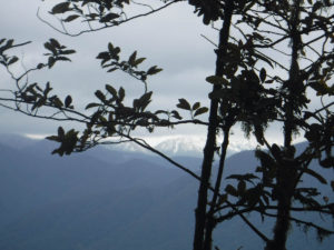
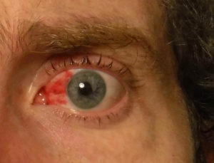
As we wary, a mistake creeps in. We drop too low sidling, and find ourselves crossing a small creek. ‘Keep going until we regain the ridge’ I suggest, sure we’ll be heading south again once we reach the high point. But upon the ridge my ball compass says the ridge is dropping off SW, but we’re to head S. Surely it isn’t across that great expanse! I check my good compass, mindful of the falling light. J is an absolute sport as I continue with the checking. What finally secures for me that we’re mistaken (and how quickly your reference points can disappear, and how stupid you can get when tired) is gravity. Creeks don’t run uphill; the only possible thing that could be is a creek heading west feeding the Waitatapia Stream. A basis for future lessons. We skirt for ages, regaining the main ridge.
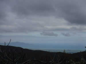
The trees are tiring. We’re tired. I show J where we’re heading; close to the southern end we opt to follow a creek bed east, desperate for any change, any navigational simplicity, any closeness to the track.
When we regain the Waitewaewae track at 4:30pm, still 3hrs from the carpark, I am flooded with relief. The rough track feels like a highway compared with the random bits of groundtrail we’ve loved on the ridge above, and the orange markers reassure us both; we’re going to get out tonight, not tomorrow morning.
We eat, and try to blast along the upper Waitewaewae track. We had considered the lower route today, but to hell with that – we’re getting out of here. The sunset is beautiful, and we regain the combined Waitewaewae tracks before needing our torches as the upper route in the dark could trick a wary tramper.
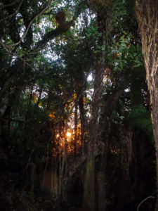
We finally drag our tired carasses into the carpark at 7:20pm, 11hrs 30minutes since we headed out from Island Forks hut.
As we return to Wellington we reflect on the trip; yesterday was great, but today – far out. Some good experience on our long-duration fortitude, a hell of a test for my new boots, and a real lesson on respect for the truly wild bush and what its indifference can throw at you.
For being such a trooper and great teammate on such an unrewarding and challenging second day, J deserves high praise!
***
Gear mention: I was testing my new Salomon Ultra Trek boots on this trip which I intend to thrash on Te Araroa. They outperformed my Asolo’s in every field except rigidity and rough-grip, given the smaller tread size. While the Asolos hard soles may have made the riverbed walking a bit easier, their 2kg (wet combined) extra weight and hard-inner would counter that. After 11:30hrs of wet, hideous walking, my feet were totally fine and my old boots would have left them a pained, blistered mess. Thoroughly recommend the Salomons, night and day improvement.
Great writeup! I am in the process of tackling the 50+ huts in the Tararuas that I have documented. Its all very well in hindsight I know but I have wondered about the up-and-down spur/ridge that runs to the east of the Waitewaewae river – ie: going up from pt 433 to 595, to close to 850, and then dropping down to the forks junction? On the aerial photos it looks like good – ie: not bastard tararua scrub! Cheers
Cheers Simon – I remember when I first started tramping I thought ‘knocking all the huts off is bonkers’ but now I see the appeal haha. Regards the Oriwa ridge spurs, I have thought about that too haha. I suspect there’s something of a ground trail heading up there – have a look at this blog, the guy (forgot name, I suck) is close to having visited every spot height in the Tararuas and his writeups can give you some more insight to the ridge there (and everywhere else) https://tararualite.blogspot.com/search?q=oriwa