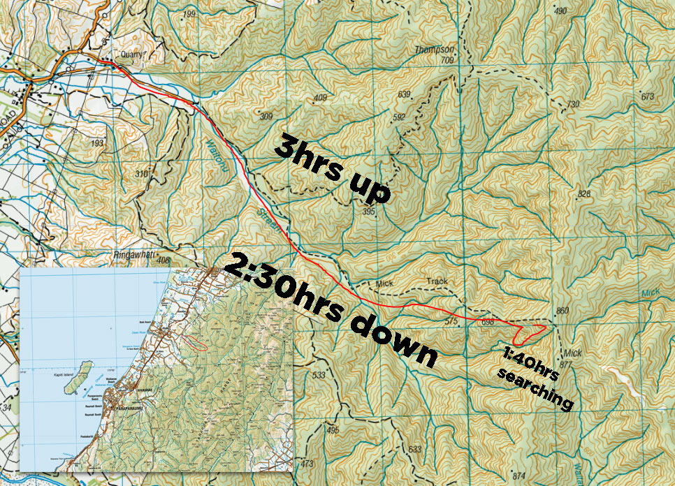
I picked up a NewTopo Map of the Tararua Ranges a while back. It’s a great planning map – the whole range is there, including estimated walk times on various routes, and it marks various things unfound on some other modern maps. What sets us on our journey today is a point of interest W of Mick – ‘Lockheed Ventura, 1946′. Sadly the four crew of this RNZAF bomber crashed into the mountainside and were assumed to be lost at sea. The plane was only discovered three years later in 1949, during aerial searches for another crashed plane. Wreckage of the crash still lies in situ, southwest of the Mick peak, including a fairly intact wing. I pitch the trip to planenut Dave, and we’re off.
Parking outside the quarry so as to not get locked in, we begin our stroll through farmland at 10:30.
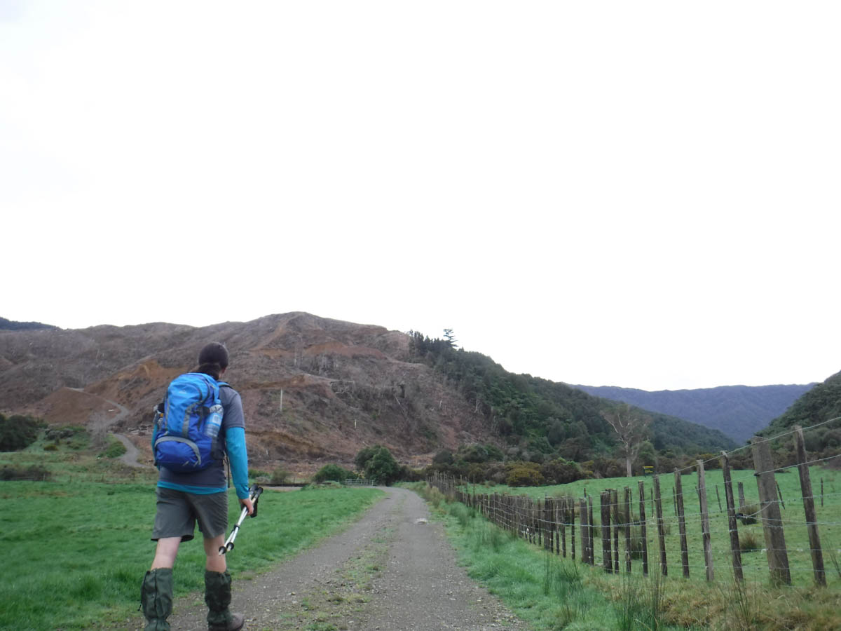
In 15 minutes we cross the bridge (the 4×4 loop track clearly visible on the right/south) and are soon trudging along an old road with some serious drainage problems.
The road opens out into big grassy areas, beautiful for camping, if you can find a non-boggy patch! Great areas of turf are thrown about by pigs. Paradise ducks circle above; it’s a wonderful peaceful spot.
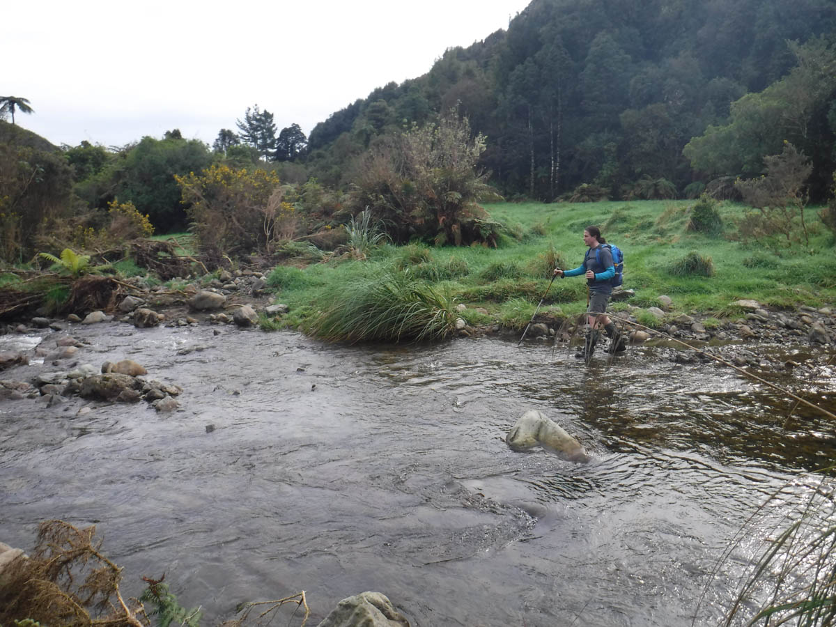
We criss-cross the Waitohu Stream a bit, muddling along upstream. The ‘side of the river’ for the road/track is no longer accurate, you just go where you can. We keep careful track of counting tributaries from our maps, as I have read folks often follow the wrong ridge.
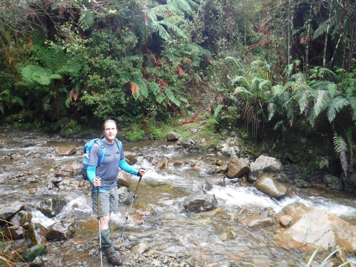

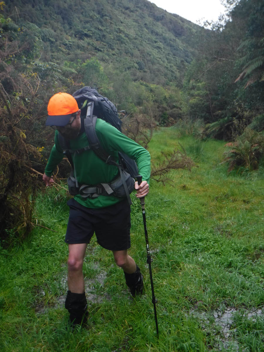
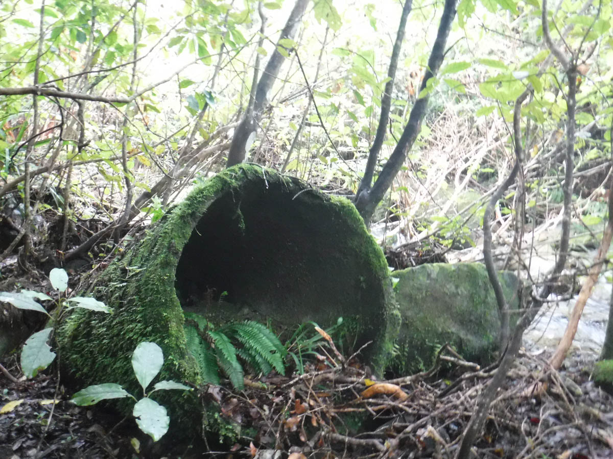
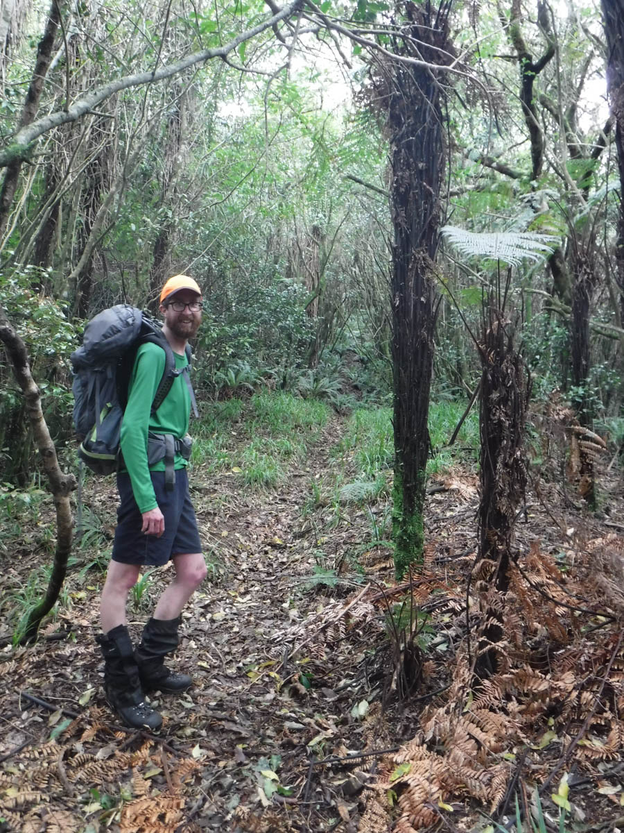
At 11:40 (1:20hrs) we finally get into the bush-yay! The track is fairly clear albeit quite the crouch and overgrown. At 11:50 we encounter 2 pink ribbons, and a drop to a stream. We have a little chat about which creek this is. I’m pretty sure it’s the one directly north of the Mick Track ridge we’re to climb – old pipe lie in ruins in the bed, relics of the timber milling I presume. Dave seeks some confirmation, so we check the GPS. All good.

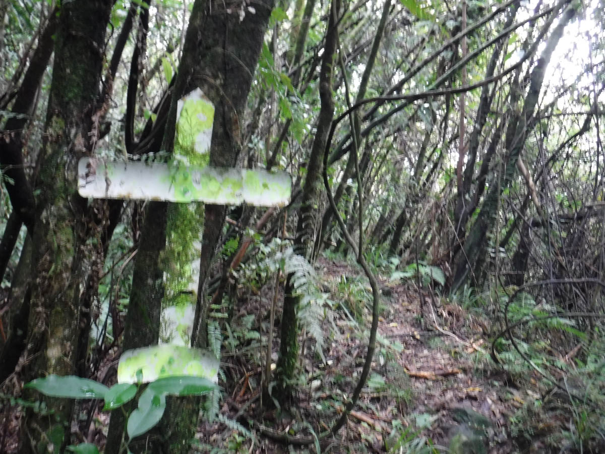
We head up the ridge. It’s a bit of a shit track for the very first little bit, but it gets its act together in short order (stick to the high south bank of the tributary above to find the track if you lose it!) From here we just begin the slog. There are markers here and there, whether they be bits of a mitre-10 bag, tin lids, bits of blinds, even tangles of khaki string – they all just help to assure you you’re on the right track. Which is all they need to do, because for the next hour we just follow great unnatural chasms carved up the mountainside. These are the old slipways, tram lines or whatever from old logging days. Some are quite great to walk, others are turning into strange ridge-based streams – but all are framed in regenerating bush. It’s a bit surreal for Dave and I – you expect these avenues of trees in old farms, derelict manors or whatever – not along the ridge in a forest park.
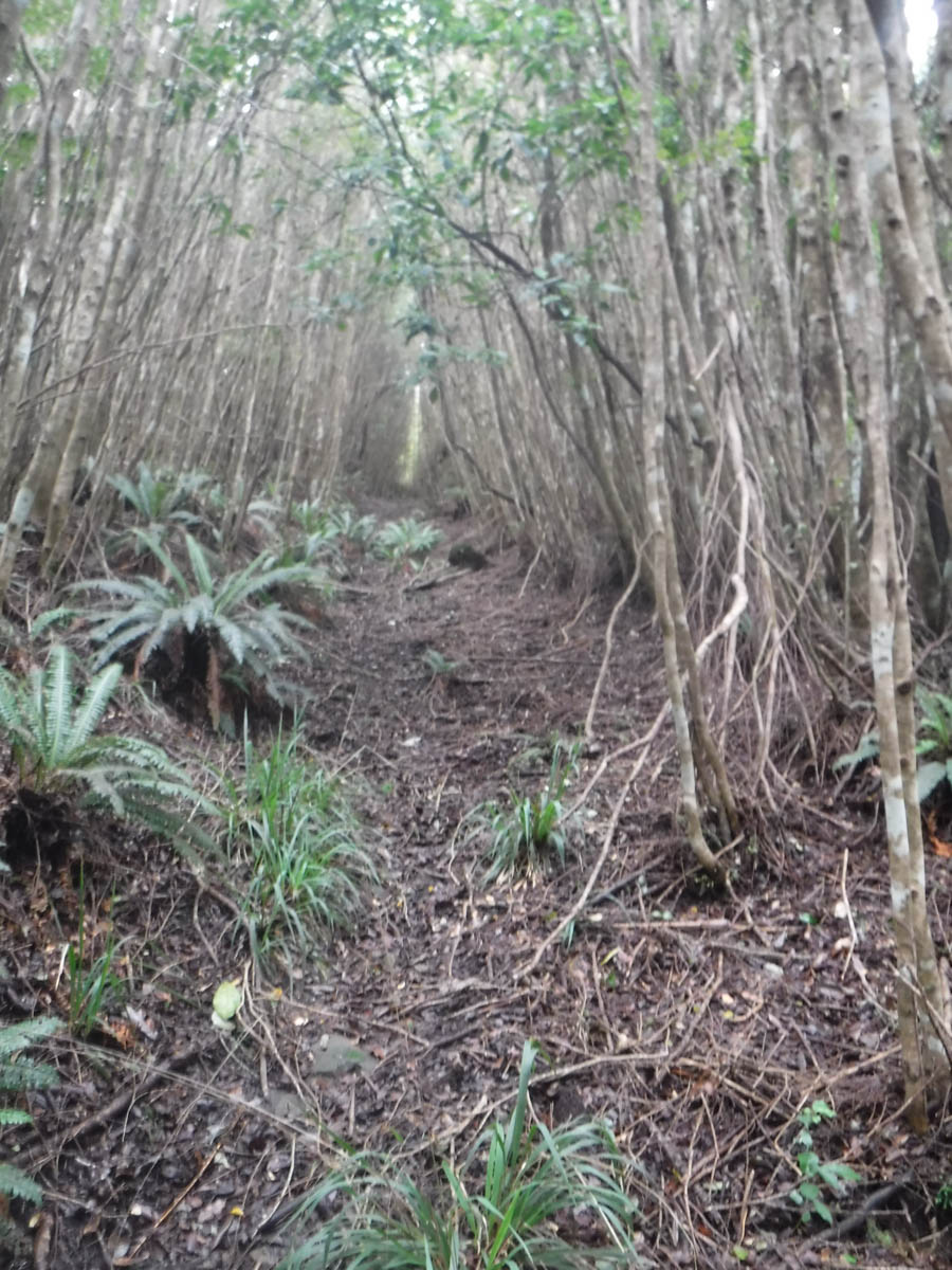
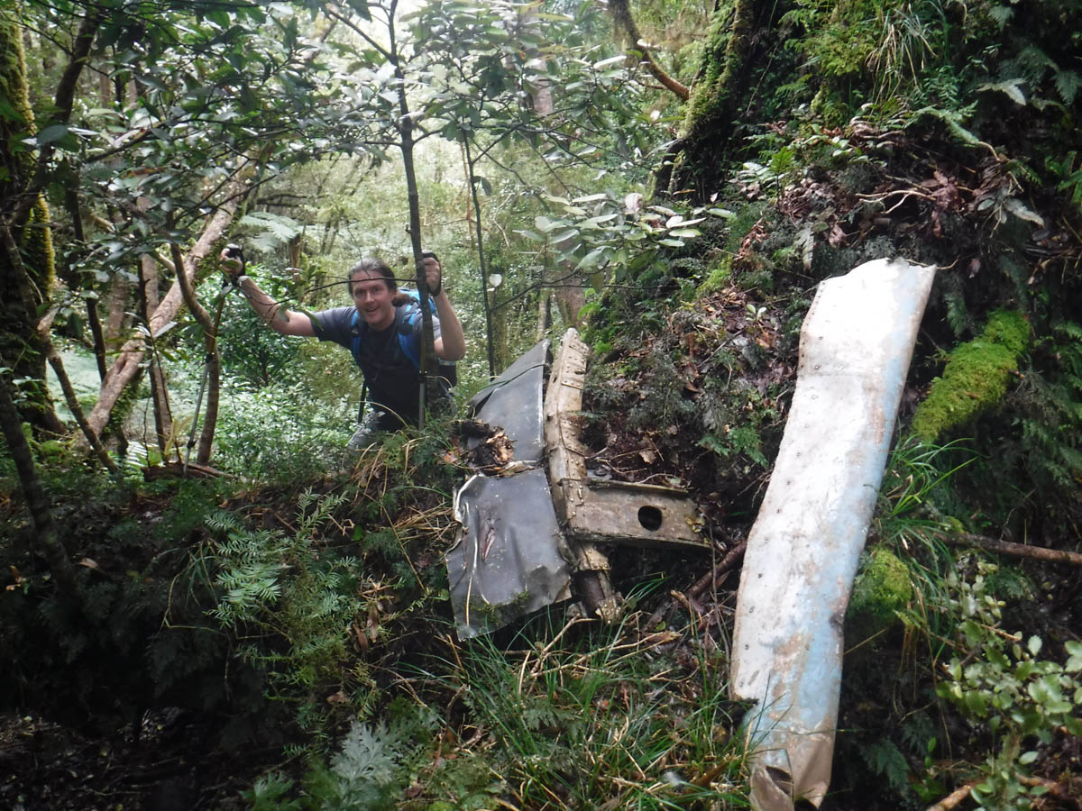
At 1:15 we leave the cuttings behind us, and begin tramping in regular ol’ bush along the ridge. 15 minutes later we discover a few bits of plane wreckage next to the track.
Excitedly we gobble some food and Dave identifies the bits. There’s a bit of engine cowling, and a bit of a tail spar. His excitement and knowledge is infectious, I’m chuffed to get here with him and look forward to his excitement when we find that wing.
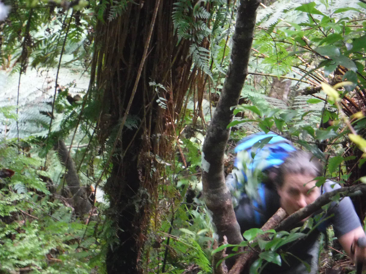
We had decided to leave again at 2, lest we get stuck in the dark. It is now 1:40. We forego the cuppa and drop into the steep valley to the south, looking for any wreckage.
I keep dropping. I lose Dave, I spot Dave; we find no wreckage. We drop further.
Dave drops all the way to the creek. I creep along, heading east. We spot nothing.
Eventually we need to give up. We clamber up the next eastern gully, scrambling up very steep, dodgy slips, hurting ourselves and beginning to respect the little Mick track, as humble as it is, immensely.
It is such a relief to reach the Mick Track again, at 3pm. I expect we’ve climbed an extra hundred metres or so, which is borne out as we take 10 minutes to drop west back to where we started searching for the plane.
I’m bummed – I really wanted Dave to discover more. He tells me the mystery is still alive, there’s a reason to come back.
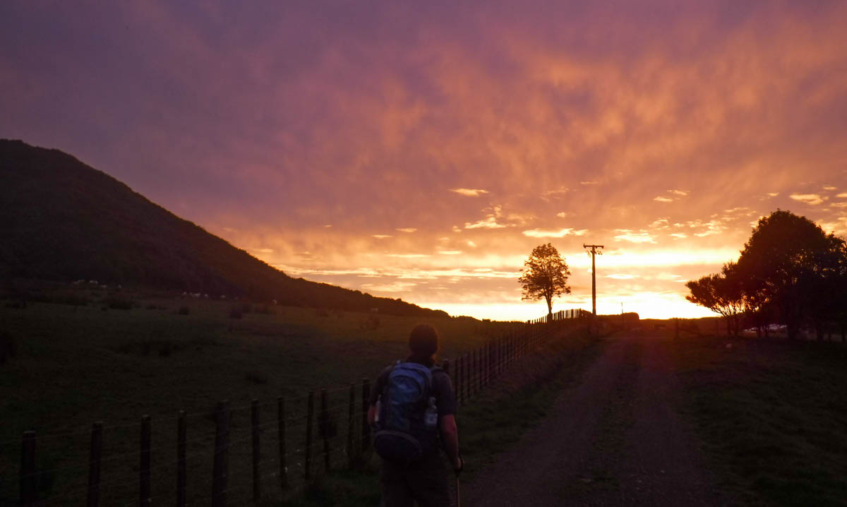
Dropping back home, we bomb on. Our knees scream against the relentless machined gradient and our restless pace, but we reaching the cuttings at 3:30 and the Waitohu Stream at 4:15.
Out of the dark, we stop for a snack on the grasslands. It’s a nice moment. And Dave’s right – having a reason to come back this way is a gift really. The long, dry days of summer are just around the corner.
2021-10-26 note: Spoke with a guy who’d been up recently, said there’s pink tape about 10 metres up the track from the aircraft bits on the ridge, so it’s real easy to find the wreck now.
Leave a Reply