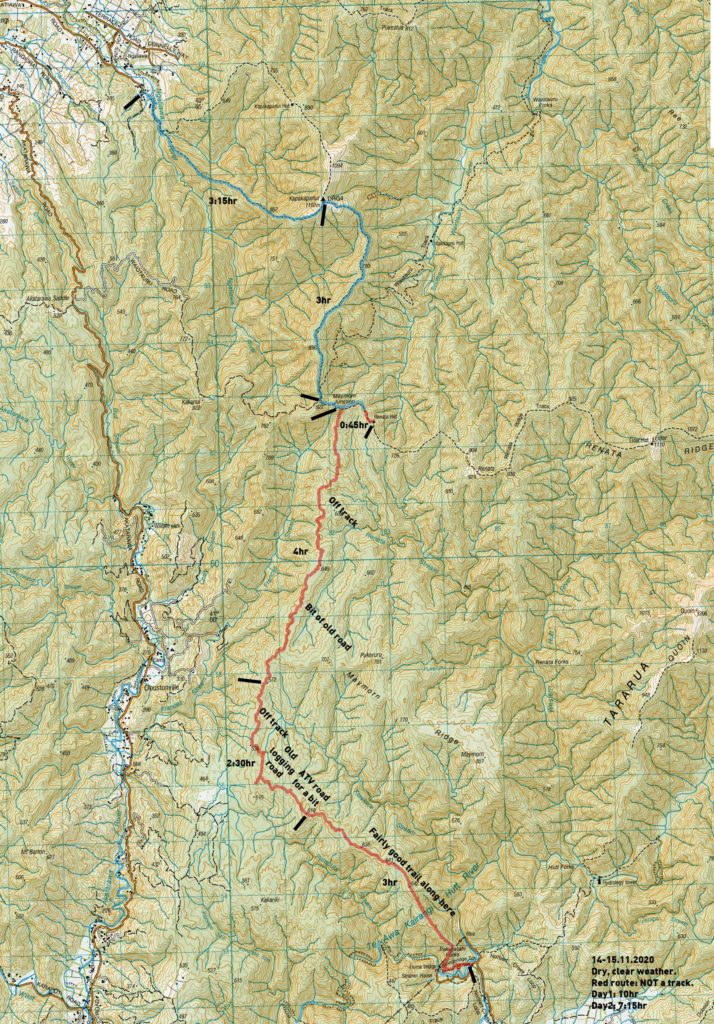
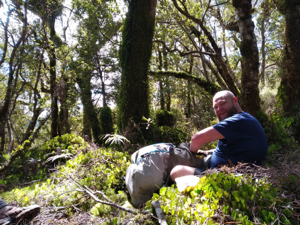
A trail of exploration and mystery close to Wellington, Nik, Gawrav and I tackled our biggest off-track adventure to date on this Bushcraft Wellington Meetup trip.
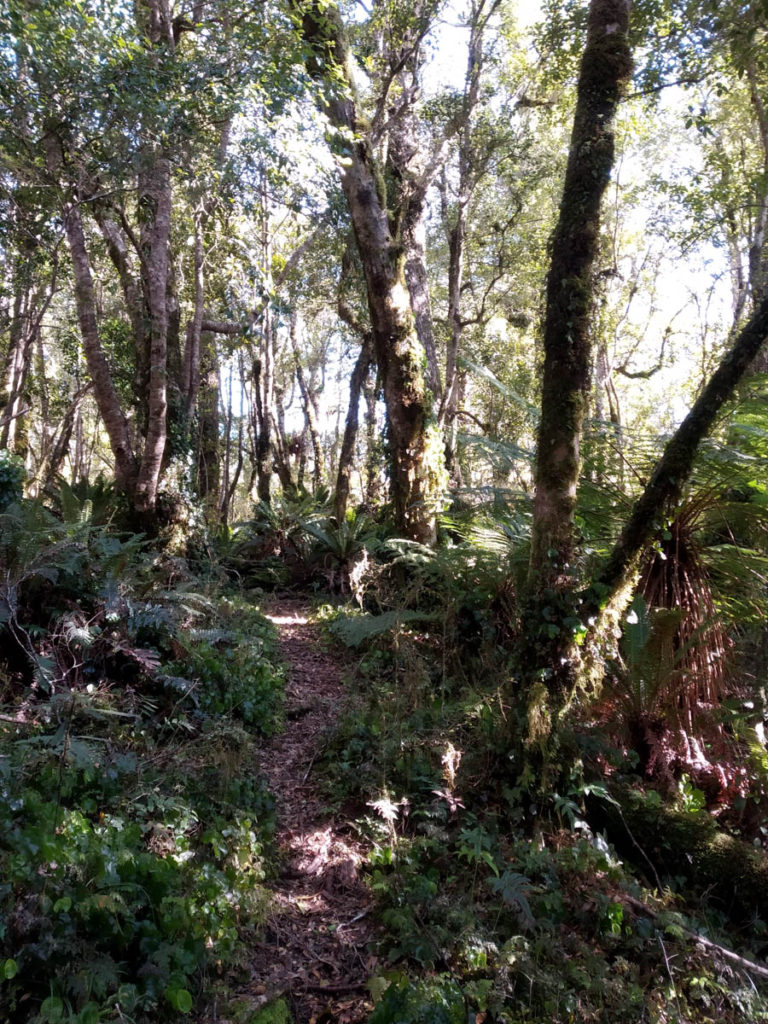
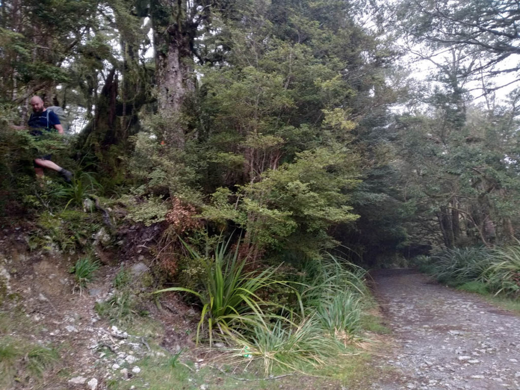
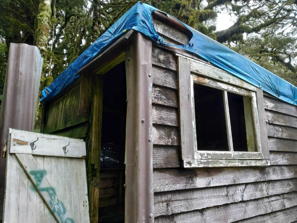
We set off from Pakuratahi Forks at 7:30am. There’s one other chap out here, heading off to that A-frame. He shakes his head passing us as we can’t decide what well-trafficked route to follow moments after the popular swingbridge track. But eventually we decide to follow his route and spot the telltale markings of a trapline track up the spur not far along. A short sharp clamber has us climbing up 300 metres before the ridge chills out and cruises around 640m, where the elevation by-and-large stays for the rest of the day. There’s a pretty good foot trail up here, maybe to 638 or so.
From there-abouts, it gets more game-traily but the general ‘head NW’ worked fine. Some hunter has roughly marked the route with cotton thread that floats between trees in the wind. It’s a weird way of marking a trail I’ve not seen before – initially we thought it was someone’s T-shirt unravelling, them finishing their walk in a tank top!
Beyond 618 somewhere we come across a pretty fresh ATV route with treadmarks from the last week or so, so still well-used. It makes for quick going, until it heads off South toward 515 and the logging roads over there.
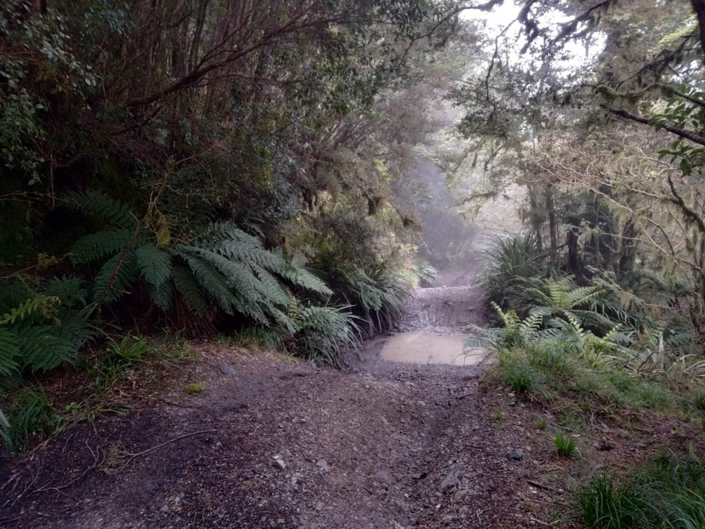
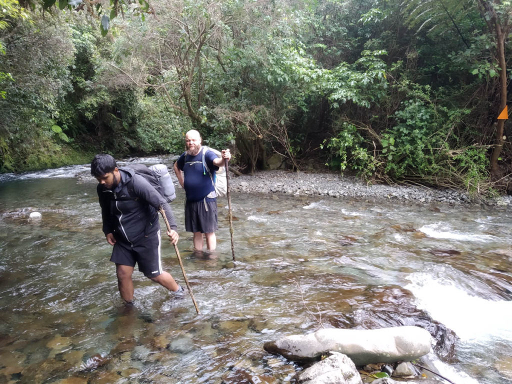
We leave the ATV route, and follow an old logging road/slipway down to the creek E of 536. Here we work on getting our proper off-track mojo going, bumbling about some. We find unmarked creeks to fill our bottles, Nik kindly filtering Gawrav’s and I’s as there’s plenty of pig-wallows right on the waters edge. ‘You don’t want to drink pigshit do you?’ – put like that, no.
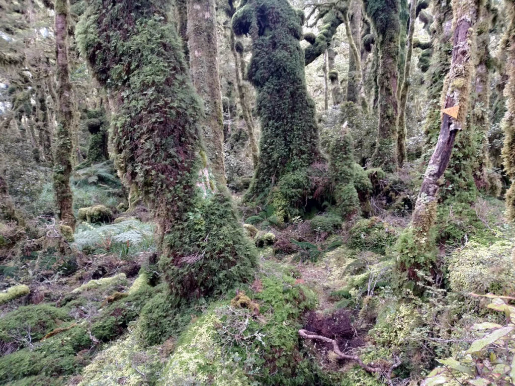
We decide to go up to ‘the ridge’, but it’s so shallow and alternating, mostly we just wander along, heading North. There’s the odd old Forestry Service marker and plenty of animal-trails, but no clear trail (that we spot anyway). Which was as expected and researched (thanks TTC).
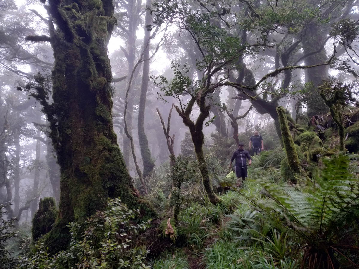
I thoroughly enjoy this – the bush is pretty clear easy walking, barely any massive fallen trees to navigate and no supplejack etc, just cruising. I check the GPS a lot, but I also enjoy the navigation practice; paying attention to where the sun shines above and keeping it in the right spot.
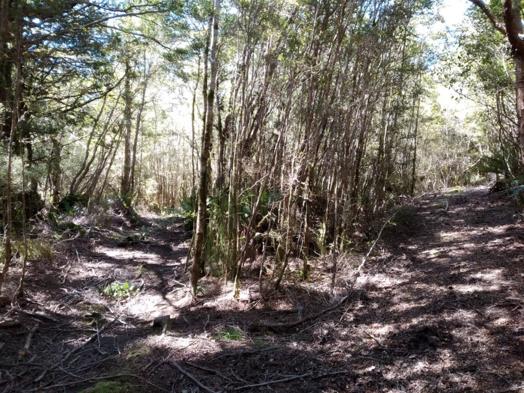
Before 646 we meet a relatively freshly cut 4×4 track, must be the one from Cloustonville (was marked in 1999, not anymore). We follow it a while, maybe to 646 or so before it is no longer cleared. These were actually old logging routes, so the road is still there, just the modern 4×4’s aren’t using it beyond here. We stick to the hidden road and it’s a blast, so quick – no roots to fall over, gentle curves making it generally easy to follow and the unnatural growth patterns of trees retaking a 70+ year old road quite fun to watch out for. But of course we eventually lose it, near that nub between 632 and 646. We’re dead keen to find it again so have some wanderings W off the ridge but alas! So we head back up to the ‘ridge’ and continue following the sun and compass.
Entering plod-territory now, we’re pretty tired and had hoped there’d be a sweet road for this last bit! But plod on we do. Our group being troopers, nobody gives me shit about my ‘7+ hour’ trip looking more like 8, 9, then 10 hours.
We skirt west below Maymorn as don’t fancy the little climb to get to the DOC track up the ridge, before joining the DOC track and bombing on down to recently refurbished Renata Hut.
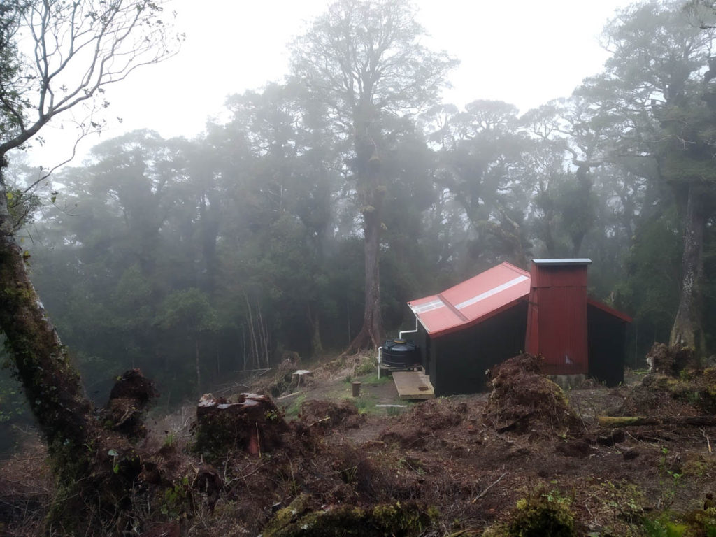
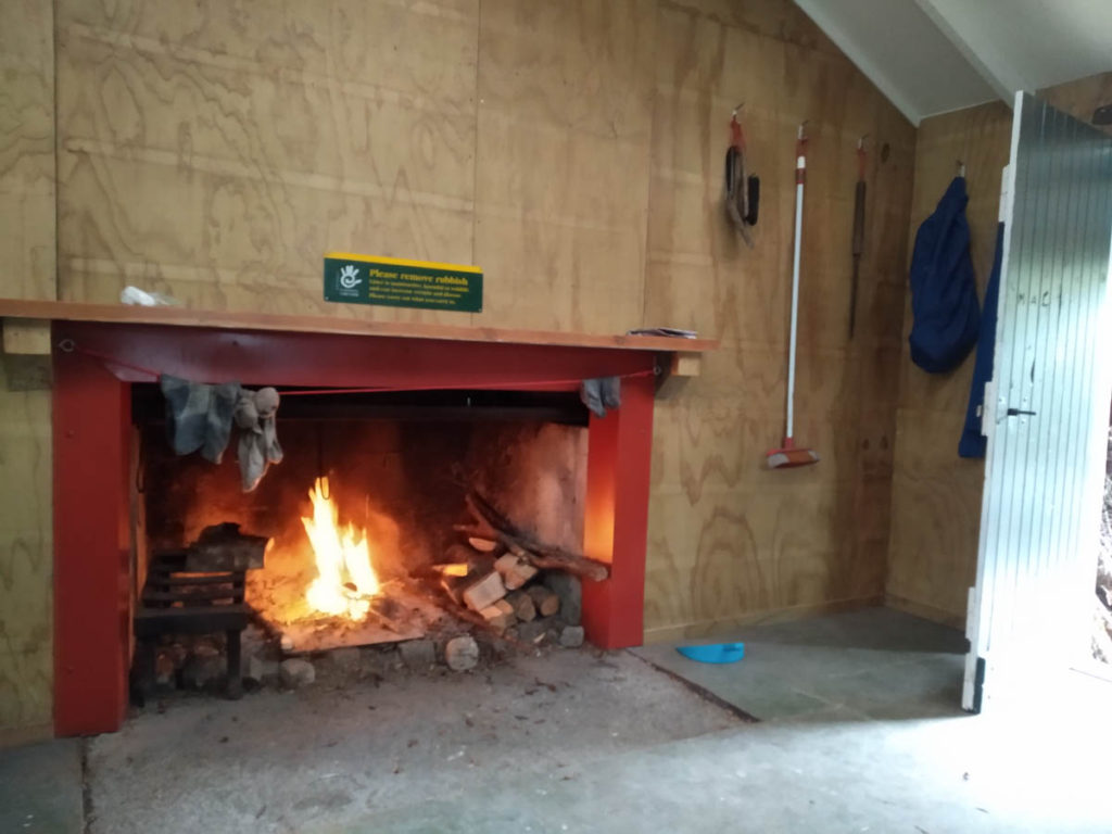
There are two young guys here who welcome us in – a must in a 6 bunker with such a communal aspect! We enjoy the fruits of the hardworking volunteer’s labour making Renata Hut a real gem right now as we settle in for the evening. They’re doing an amazing job!
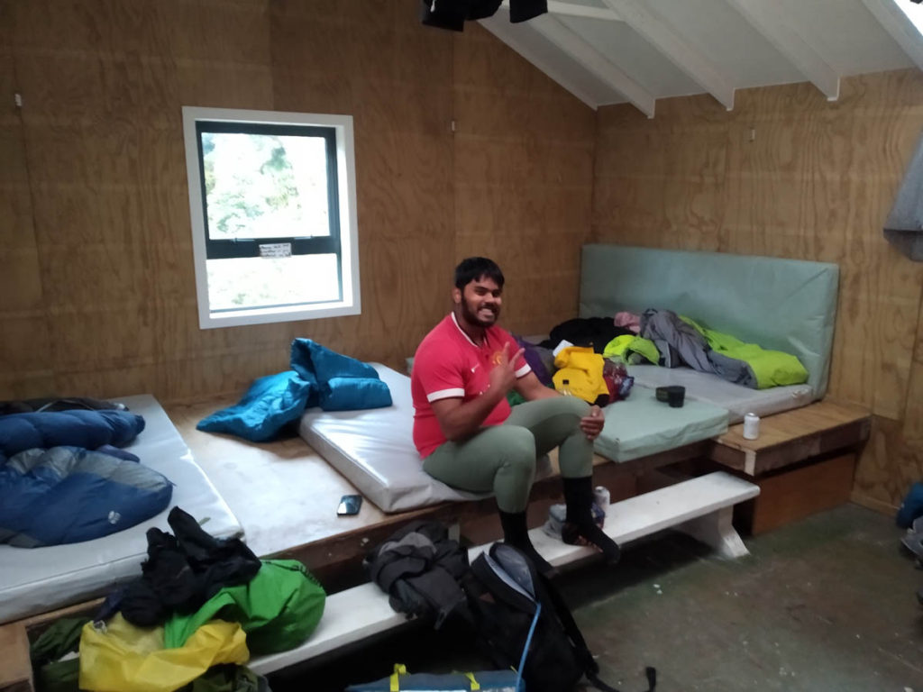
The two chaps manage to stay asleep, or feigning sleep as we get up 6:30? and leave at 7:30. The mist has closed in overnight and we expect a wet day, but like yesterday it ends up pretty good!

The trail to Maymorn Junction is used a bit, understandably during the refurb and with Otaki Forks closed.
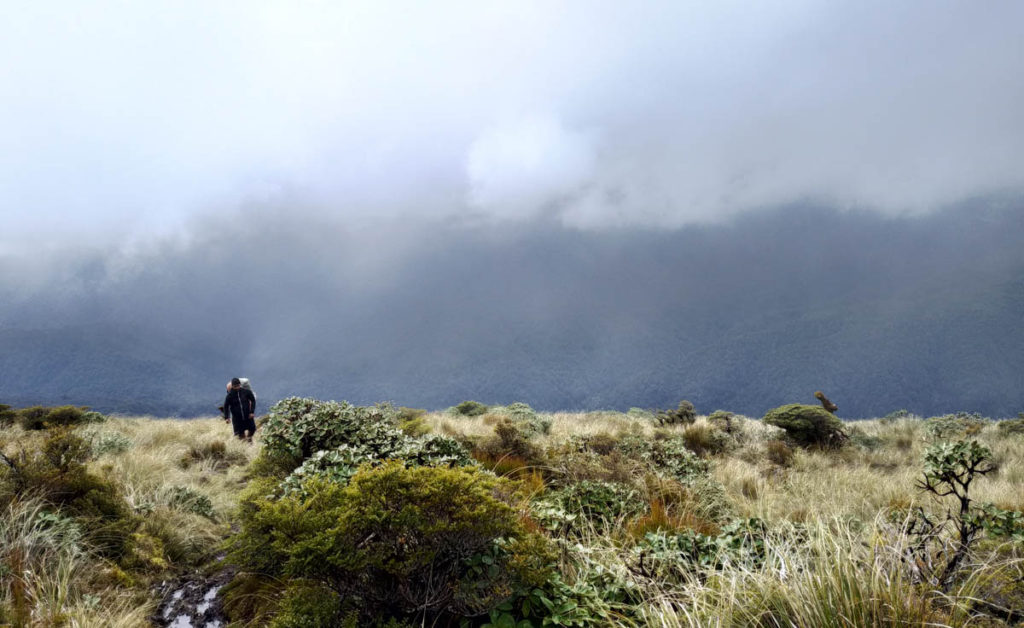
Beyond, the trail from Maymorn to Kapakapanui is not well-trafficked. The mud puddles have coatings of moss on them, so little is the foot traffic over here.
We grunt up to Kapakapanui summit and call Claire to pick us up in some 3.5hrs time.
We eat what we have left and clamber down, the sharp decent from 1100 to 140m a bit of unpleasantness on tired knees and blistering feet. The track is recently cleared, like within the last week or so, so thanks whoever did that. Bit overzealous on the silver-fern chopping and useful-tree-in-middle-of-trail removal in my opinion but they’re the one out there doing it so you do it your way!
We’re all tired and somewhat broken, but chuffed with our achievement and to explore somewhere new. That area around Maymorn is really satisfying, so flat and easy-off-tracking. There’s an informal rule for everyone not to mark tracks which is great, leaving it this untouched wilderness area. Plenty more fun explorations to come!
The trip wouldn’t have been logistically doable without our awesome support crew spending their free time helping us spend ours. Massive thanks to Kylie for dropping us off and Claire for picking us up and putting up with the heavy snoring post-tramp.
So this might sound weird, but I’m the guy from Pakuratahi Forks! I found this searching for the route to Renata, as I was curious to see how you would have got there. Sounds like you got on better than I did – I ended up aborting about 100 metres or so from the A-Frame. Nice to meet you guys.
Hey Steve, thanks for getting in touch. Sorry to hear you didn’t get there, you’ll have to give it another go! If you’re keen you should join us on Bushcraft Wellington, would love to connect with more folks who’re curious and keen on exploring the roads-less-travelled https://www.meetup.com/Bushcraft-Wellington/